
Back in May, when I decided to come to the 12th International Conference on Persons in Lund, Sweden, I wondered if I couldn’t also find a way to explore a bit of Sweden outside the conference.
Sweden has a number of long distance trails and their use is enhanced by allemansrätten,which guarantees that anyone can camp for 24 hours almost anywhere (including private land) without permission, so long as they don’t interfere with the owner’s enjoyment and don’t leave a mess.
So even in southern Sweden, there are long trails through farmland where one can camp anywhere and then stop in villages to resupply – a wonderful idea.
But I wanted something a little more remote. I quickly settled on the Padjelantaleden, a 135 km trail through Padjelanta (“Highlands”)National Park, which is run by the Sami (Lapplanders) people and is only accessible by foot or helicopter at one Sami village. The trail is served by no less than ten well-stocked huts (“stugarna”) which must take in all hikers, and, unlike Canada’s National Parks and ACC huts, reservations and permits are not needed.
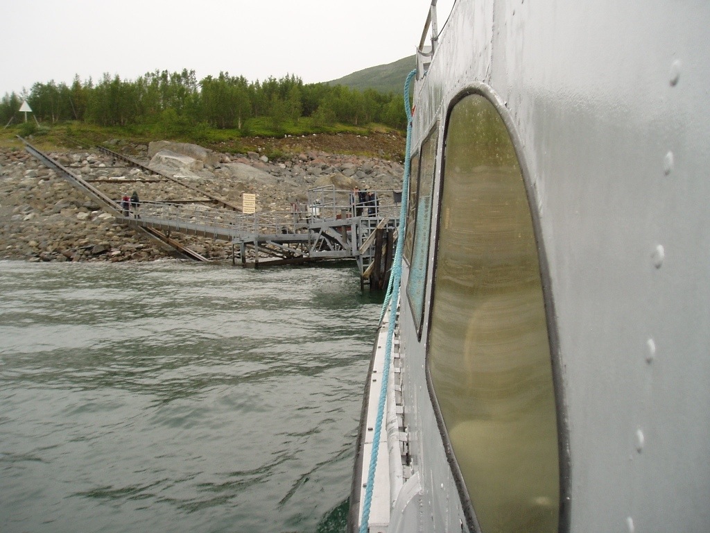
The chief difficulty seemed to be just getting there. From Lund, this involved a 4 hour train ride to Stockholm, then an overnight train to Gallivare, then a four hour bus ride to Ritsem, and finally a nine kilometre boat ride over a large lake just to get to the northern terminus of the trail. In addition, I wasn’t sure whether my checked luggage would arrive in Copenhagen at the same time I would.
Nonetheless, I made plans. I downloaded GPS tracks and coordinates of all the huts, read online trip reports, and a very helpful Dane named Klaus Andersen sent me a Padjelanta map (printed on Tyvek) and a link to download his very informative videos made of his own Padjelanta hike. Thanks, Klaus! I even figured out how to reserve train and bus seats online.
As it happened, all my logistics worked perfectly. I and my luggage arrived safely in Lund, where I bought a few last minute items and, back in my hotel room, packed the load for the trail. I think my total pack weight was 10 or 11 kilos, which is quite manageable for the 35 litre Cierzo pack I’ve been using. If I had opted to stay in the huts, sited every 10 to 20 km along the route, many of which sell rudimentary food supplies, I could have cut that weight in half. But I opted to carry a one person tent, stove, pot, and a 500 g down quilt so I could camp solo. All in all, I think I had a pretty good set of gear for the trip.

The next day, I commenced the train-train-bus-boat journey to the SOBO trailhead.
The boat from Ritsem disgorged me and 35 other hikers at Akka under light rain.While most of them covered their enormous packs (70 litres is on the small end of the scale in Laponia) with even more enormous pack covers, I headed down the trail in shorts, runners, and a rain jacket. At the Ritsem fjallstation (mountain hostel run by the STF), the posted forecast was for rain that evening, then cool (16-17 C) and cloudy for the next few days. Not great weather for suntanning or photography, but almost perfect for hiking.

Generally, the trail was very well sited and maintained. It’s mostly hard packed clay with a few puddles and the occasional boulderfield. Where the trail crosses bogs, and it does so frequently, there are boardwalks to stop hikers from gouging a muddy rut and then abandoning it to gouge another one immediately adjacent, as I’ve seen frequently (and have been guilty of) in the Rockies. These boardwalks, built from timber slightly beefier than the standard North American 2X4, can run for hundreds of metres, and occasionally are supported by more timber underneath to bridge small streams. So walking was pretty easy, especially to one used to hiking some of the remoter trails in the Canadian Rockies where trails are not quite so carefully built. I was therefore mystified as to why so many Swedes insisted that wooden soled knee-high rubber boots were de rigeur for Northern Sweden.

Larger rivers are typically spanned by impressively engineered steel suspension bridges. Trying to wade this raging whitewater would likely result in death.

Wayfinding was incredibly easy. While the standard map scale in this part of Sweden is 1:100 000, or half that of Canadian topo maps, the maps are well detailed, and prominent signage gives you a sense of where you are.

Where the trail wanders through the occasional boulderfield, there are orange patches painted on rocks to mark the trail. Given the amount of foot traffic and the signage, it’s almost impossible to get lost on the Padjelantaleden. But the Padjelantaleden is also a winter trail, and I was struck to see posts, their tips painted orange, spaced every 60 m or so along the trail. Many were inter-visible from one to another and I suppose this is a requirement for safe navigation in white-out conditions above treeline. In Canada, one simply has to trust map, compass, and perhaps a GPS.

As the “right to roam” doctrine implies, one is free to camp anywhere, so – unlike Canada – there are no designated campsites that hikers must use. This picnic area is perhaps unique on the trail. Most people simply pitch their tents in a flat meadow, near a stream, but without the usual amenities one sees in Canada – bear hangs, outhouses, fire pits, tables, etc. I saw a bit of garbage and a few informal fire circles, but surprisingly little evidence of abuse given the large numbers of people who hike this trail. I’m really quite curious why Sweden, with a relatively large population using its limited wilderness, has gone the route of almost no bureaucratic control over back country use, whereas Canada, with its small population and immense wilderness, takes the opposite course. I honestly don’t know which policy is better or what justifies the differences.
Unfortunately, I wasn’t able to complete the trail. A knee injury forced me to turn back after the first day of a planned five day circuit. It was a bitter disappointment, but a wiser choice than limping on and then facing a needless and embarrassing helicopter rescue should my knee not have improved. I’d love to return, but I don’t know if/when that might be possible.

Hi! Stumbled upon your blog entry when researching my own excursion in Padjelanta and it was great fun to read from the perspective of someone who isn’t native to this country. And look at your nice pictures! I hope that you get to explore more of northern Sweden some day, it’s quite wonderful and addictive.
Regards,
David
I’m sad that I won’t be able to return to the Padjelanta trail to finish it, since it’s a beautiful area and a well marked trail.